U.S. Route 5 (US 5) is a north–south United States Numbered Highway extending from southern Connecticut to the northernmost part of Vermont. In Massachusetts, the route travels 53.46 miles (86.04 km), paralleling the Connecticut River and Interstate 91 (I-91) through Hampden, Hampshire, and Franklin counties.
Route description
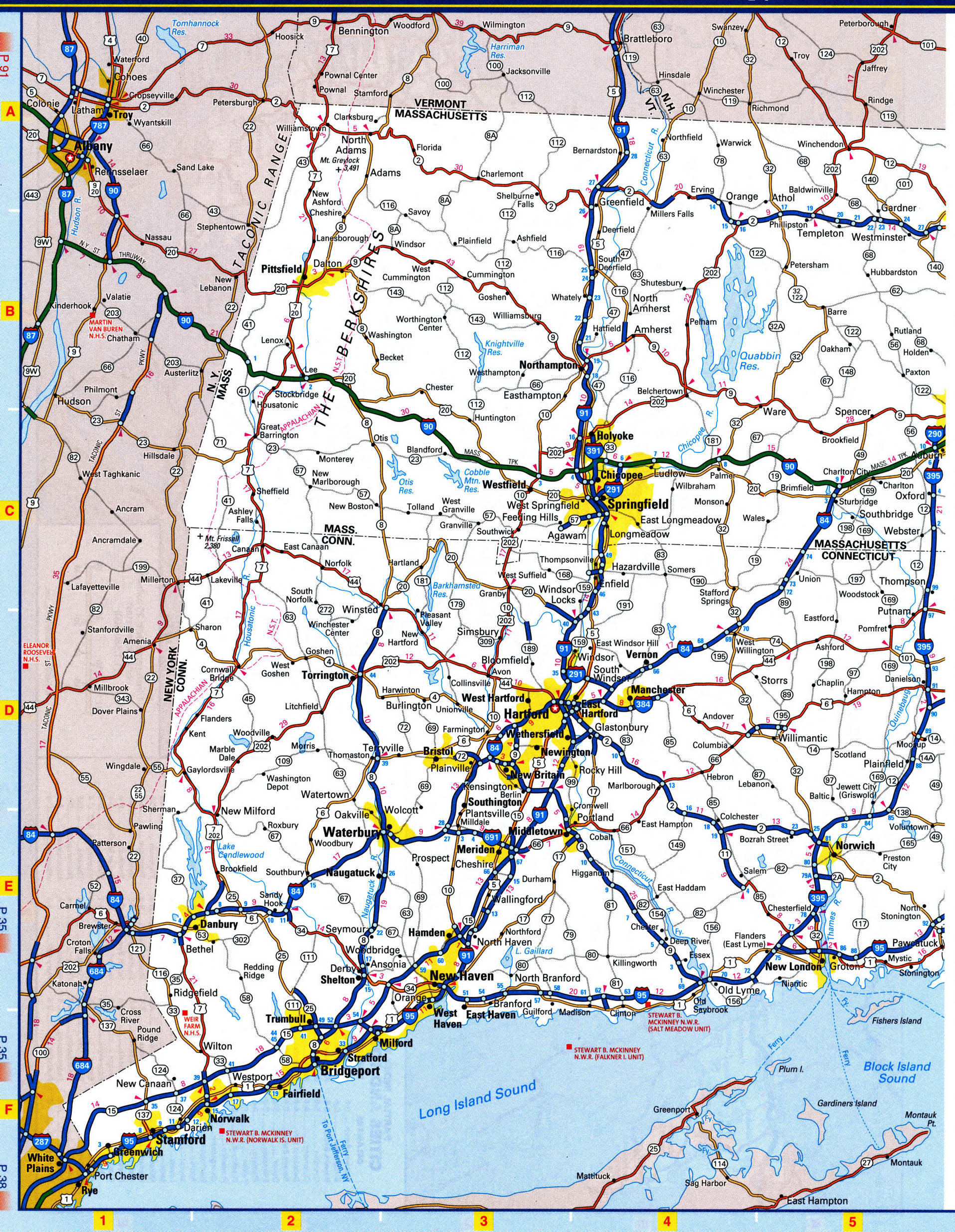
US 5 stays very close to the Connecticut River and I-91. It enters the state at the town of Longmeadow on the east bank of the river going up to Springfield. In Springfield, US 5 then overlaps with I-91 for about 0.5 miles (0.80 km) and then separates as its own freeway crossing the Connecticut River on the South End Bridge into Agawam. The freeway portion travels for about 3.3 miles (5.3 km) up to West Springfield. From the town of Northampton up to Bernardston, US 5 travels concurrent with Route 10 for 26 miles (42 km). US 5 also passes through Holyoke, Hatfield, Whately, Deerfield, and Greenfield. As in Connecticut and Vermont, US 5 has many interchanges with the parallel I-91.
History
Major intersections
See also
- United States portal
- U.S. Roads portal
References
External links